Site Preparation in Oak Grove, KY
Build pads in Christian County taken from standing growth to a compacted, drained subgrade a footing crew can set forms on.
Get a Free Land Clearing Quote in Clarksville
Tell us the acreage, the road it fronts and what the ground has to do afterwards. Form requests are answered the same working day, and every quote follows a site walk.
Oak Grove incorporated on 24 September 1974 as a Kentucky home rule class city and now holds 7,931 residents across 10.74 square miles in Christian County, with a southern border that is the Tennessee state line itself and the northern boundary of Clarksville. It is directly adjacent to Fort Campbell, I-24 forms its northeastern edge with exits at US 41A and KY 115, and Fort Campbell Boulevard runs through its northwestern corner. A city that young, that small in area and that tightly wrapped around a military installation and an interstate is a city whose ground gets built on, and site preparation is what happens before that.
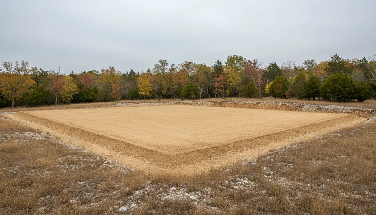
Clarksville Elite Land Clearing prepares build pads on Christian County ground, keeping careful track of which side of the line the work is on. Site preparation here means clearing, grubbing out the root mat, cutting and filling to a stated elevation, and compacting a subgrade that will not move under a slab. That is a deeper and wider disturbance than a single mulching pass, which is why the permit question is more often live on a pad job, and why the pad has to be graded so water leaves it before anyone talks about footings.
What Oak Grove Ground Does Under a Build Pad
A pad is only as good as what sits under it. Three local facts decide how much work that takes here.
Karst under the subgrade
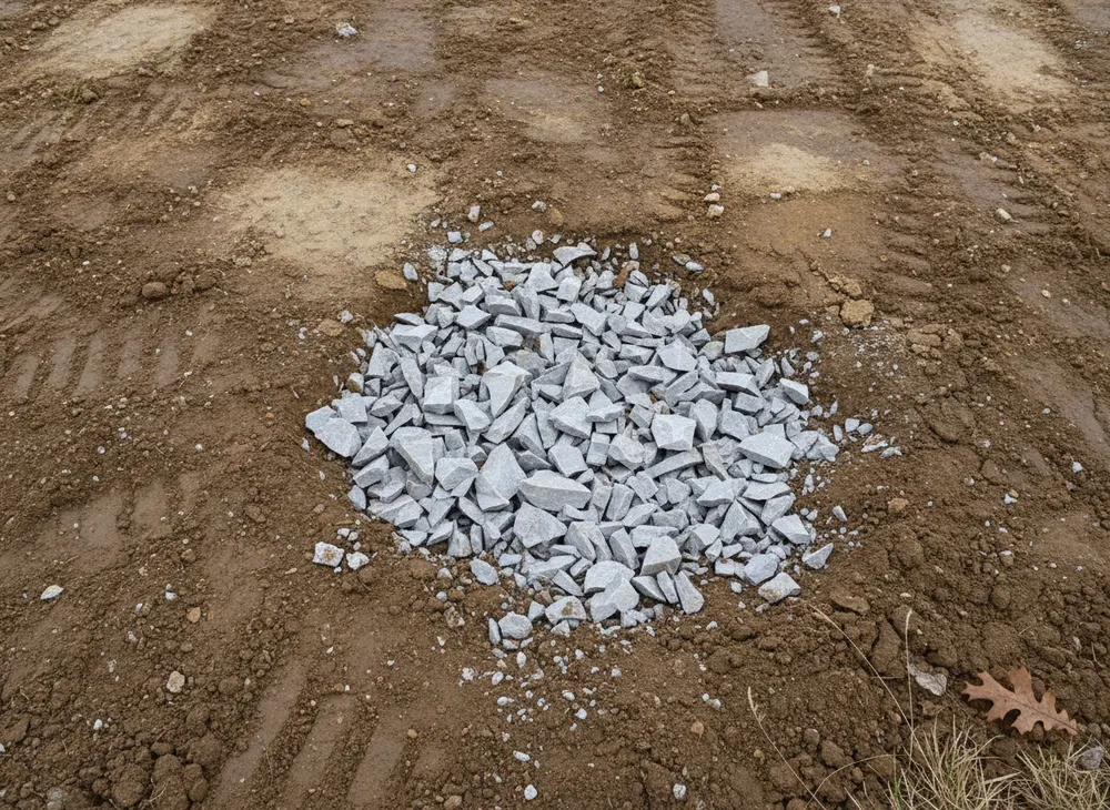
Oak Grove sits on the Pennyroyal Plateau, which the USGS characterises as a sinkhole plain with a high density of sinkholes and related karst features, including deep vertical shafts and blind valleys. For a pad job that is the governing condition. Excavation and grubbing on karst can meet voids that were not visible at the surface, so ground gets walked and probed before a bucket goes in, and any depression is treated as a possible swallow point rather than a low spot to be filled and forgotten. Fill placed over an unidentified void does not stay where you put it.
Silt loam that compacts well and drains slowly
The upland soil across this part of the plateau is the Pembroke series, a silt loam formed in a thin silty mantle of loess over older alluvium or limestone residuum. It is well drained with low runoff and moderate to moderately slow permeability, with a solum from 60 to more than 120 inches and slopes commonly between 0 and 2 percent, ranging to about 12 percent. Deep, uniform silt loam is good pad material when dry and difficult when it is not, because moderately slow permeability means water held in the profile leaves slowly. That is the argument for cutting and compacting in the drier half of the year.
A build market driven from the base and the interstate
Fort Campbell straddles the state line on the northern edge of Clarksville and anchors the Clarksville Tennessee and Kentucky metropolitan area, with Oak Grove sitting directly against it. The housing pressure that comes with permanent change of station cycles is documented rather than anecdotal, with local reporting describing a market operating on around 116 houses listed at one point. On the Tennessee side of the same line, Clarksville has grown 13.2 percent since the 2020 census to an estimated 188,829. Demand of that kind arrives as small pads on small parcels, quickly.
Site Preparation Permits and Requirements in Oak Grove, KY
Oak Grove is a Kentucky city whose southern boundary is the Tennessee state line, which makes it the easiest place in this service area to apply the wrong rulebook. Checked 30 July 2026.
The state line is a legal boundary, not just a map feature
The Tennessee construction stormwater general permit, the Tennessee Division of Forestry burn season, the Tennessee one-call notice period and the Tennessee contractor licence threshold are Tennessee instruments and they end where Clarksville ends. Kentucky has its own division of forestry, its own one-call centre and its own local ordinances, and the City of Oak Grove and Christian County set requirements without reference to Montgomery County. A pad job whose access runs from a Tennessee road onto Kentucky ground is permitted under both regimes for the parts falling in each, and we split it that way on the quote.
What a Kentucky pad job needs, and from whom
Site preparation typically raises three approvals in Christian County. Construction stormwater coverage, administered by the Kentucky state environmental agency, applies once the disturbed area is large enough and stays open. An underground locate through the Kentucky one-call centre must be marked before any excavation, which on a pad job means before the grubbing, not before the footings. And a grading or land disturbance approval sits with the City of Oak Grove inside the corporate limit or with Christian County outside it. The thresholds, notice periods and fees attached to each are Kentucky figures we have not verified for publication, so no number appears here. All three are confirmed against your parcel first.
Access, entrances and the interstate edge
I-24 forms the northeastern boundary with exits at US 41A and KY 115, and Fort Campbell Boulevard runs the northwestern corner. A new or altered entrance onto a state route is a Kentucky transportation approval rather than a Tennessee one, and it sits alongside the local grading permit rather than inside it. We identify which authority owns the road a pad is entered from during the site walk, because an entrance redesigned after grading has started is the most expensive kind of surprise on a small pad.
The federal layer, identical on both sides of the line
Clean Water Act Section 404 authority is federal and does not change at the state boundary, so a pad that fills, drains or crosses a stream, a wet-weather ditch or a wetland raises the same question here as it would a mile south. The paired certification under 33 USC 1341 is issued by the Kentucky agency on this side. A pad job is structural fill by definition, which is why drainage features get located before an elevation is set.
Sources for the requirements above:
- TDEC stormwater permit, the Tennessee regime that ends at the line (https://www.tn.gov/environment/permit-permits/water-permits1/npdes-permits1/npdes-stormwater-permitting-program/npdes-stormwater-construction-permit.html)
- Tennessee 811 law, which does not cover Kentucky ground (https://www.tenn811.com/law)
- TDF burn permits, a Tennessee instrument only (https://www.tn.gov/tnwildlandfire/prevention/safe-debris-burning/permits.html)
- Federal Section 404 and 33 USC 1341 framing (https://www.tn.gov/environment/program-areas/wr-water-resources/watershed-stewardship/wetlands/state-and-federal-wetland-regulations.html)
- USGS on Pennyroyal Plateau karst (https://pubs.usgs.gov/wri/wri974097/text/karst.html)
- Pembroke soil series description (https://soilseries.sc.egov.usda.gov/OSD_Docs/P/PEMBROKE.html)
- Fort Campbell driven housing pressure (https://clarksvillenow.com/local/with-only-116-houses-on-market-military-families-rushing-in-clarksville-housing-getting-hotter/)
Areas We Serve in and Around Oak Grove
Ten and three quarter square miles inside ZIP 42262 is a compact city, and its shape is set by three edges rather than by a centre. I-24 runs the northeastern boundary with interchanges at US 41A and KY 115. Fort Campbell Boulevard, which is US 41A, carries the northwestern corner. And the southern border is the Kentucky and Tennessee state line, which is also the northern boundary of Clarksville, so a parcel here can be within sight of a Tennessee address and still be entirely under Kentucky jurisdiction.
That southern edge is the practical centre of gravity for pad work. Parcels near it are small, close to services and already surrounded by development, so the constraints are utility locates, neighbouring structures and how a loaded truck gets in and out rather than how much timber has to come down. Move north and east toward the interchanges and the parcels get larger, and the constraint becomes drainage and karst.
Fort Campbell itself is not a market we serve. Work inside a federal reservation runs through a completely different procurement and permitting route. What the base generates is demand on the ground around it, and that ground is the city of Oak Grove and the Christian County parcels behind it.
North from here the county opens toward the acreage and mulching country around Hopkinsville, 26 miles up US 41, with the small farm parcels at Pembroke in between. All of that is Kentucky. South of the line the same drive puts you in Montgomery County, Tennessee, where a different permit office, a different one-call centre and a different burn season take over within a few hundred yards.
Land Clearing Services Available in Oak Grove
The scopes that make up most pad work on Christian County ground.
Site Preparation
Clearing, grubbing, cut and fill to a stated elevation, and a compacted subgrade with drainage that leaves the pad rather than pooling on it. Scoped from an elevation and a footprint, because a pad is a vertical job.
Clearing and Grubbing
The root mat out, not just the top growth. Under a slab this is not optional, because decaying roots left in a subgrade become voids and voids become settlement.
Land Grading
Cut, fill and shaping to fall, so water leaves the building envelope and the drive. On silt loam the grade decides whether a pad stays workable through a wet week.
Gravel Driveway Installation
The access that has to exist before anything else happens and survive after it. Base depth, crown and drainage decided from the ground rather than a standard detail.
How We Work in Oak Grove
-
Walk and probe before pricing
Footprint, elevations, drainage features, depressions and access. A pad priced from an aerial photograph is a pad priced from a guess.
-
Establish which jurisdiction owns each part
Kentucky rules on the parcel, the Kentucky one-call locate, city or county for the grading approval, and the road authority for the entrance.
-
Clear, grub, cut, fill, compact
In that order, with controls going in as the ground opens. The pad is handed over at a stated elevation with drainage that works, so the footing crew is not fixing our work first.
Nearby Communities We Serve
Forestry mulching around Hopkinsville is the large-acreage end of Christian County, 26 miles north, where mulching by the acre beats pad pricing.
Fence line clearing at Pembroke sits between the two on US 41, small farm parcels on the same Pennyroyal soil and the same Kentucky permit path.
Right of way clearing in Guthrie runs the corridor and easement work east of here in Todd County, along the rail and highway lines that follow the state line.
Stump grinding at Woodlawn is across the line west of Clarksville on US 79, unincorporated Montgomery County ground under Tennessee rules.
Book a Site Walk on Your Acreage
Send the parcel details and we will walk the ground, measure the disturbed area, check the stormwater threshold and put a written scope in front of you before any machine is booked.